SDG 15: Life on Land
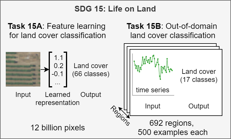
Human activity has altered over 75% of the earth’s surface, reducing forest cover, degrading once-fertile land, and threatening an estimated 1 million animal and plant species with extinction [1]. Our understanding of land cover—i.e., the physical material on the surface of the earth—and its changes is not uniform across the globe. Existing state-of-the-art land cover maps [2] are significantly more accurate in high-income regions than low-income ones, as the latter have few ground truth labels [3]. The datasets included in SustainBench seek to reduce this gap via representation learning and transfer learning.

References
[1] United Nations Department of Economic and Social Affairs. The Sustainable Development Goals Report 2021. The Sustainable Development Goals Report. United Nations, 2021 edition, 2021. ISBN 978-92-1-005608-3. doi: 10.18356/9789210056083. URL https://www.un-ilibrary.org/content/books/9789210056083.
[2] M. Buchhorn, M. Lesiv, N.-E. Tsendbazar, M. Herold, L. Bertels, and B. Smets. Copernicus global land cover layers—Collection 2. Remote Sensing, 12(6), 2020. ISSN 2072-4292. doi:10.3390/rs12061044. URL https://www.mdpi.com/2072-4292/12/6/1044.
[3] H. Kerner, G. Tseng, I. Becker-Reshef, C. Nakalembe, B. Barker, B. Munshell, M. Paliyam, and M. Hosseini. Rapid response crop maps in data sparse regions, 2020.